Museo Naval Madrid: Spain's maritime history from Columbus to Trafalgar
Is the Museo Naval Madrid free and what is its most important exhibit?
Yes, entry is completely free with ID presentation at the entrance. The museum's most historically significant exhibit is the Juan de la Cosa map (1500), the oldest surviving map to show the American continent. The collection covers five centuries of Spanish maritime history, naval battles, navigational instruments, and ship models.
In brief: The Museo Naval is free, on the Paseo del Prado, and holds the oldest map showing the Americas. It covers five centuries of Spanish naval history from Columbus to the modern navy. A good 90-minute visit for history enthusiasts; often empty enough that you can spend real time with individual exhibits.
| Where | Paseo del Prado 5, next to Cibeles, 5 minutes from the Prado |
| Cost | Free (ID required at entrance) |
| Time needed | 60–90 minutes for a thorough visit |
| Getting there | Metro Banco de España (Line 2), 2-minute walk |
| Best time | First hour after opening (10:00–11:00), before school groups |
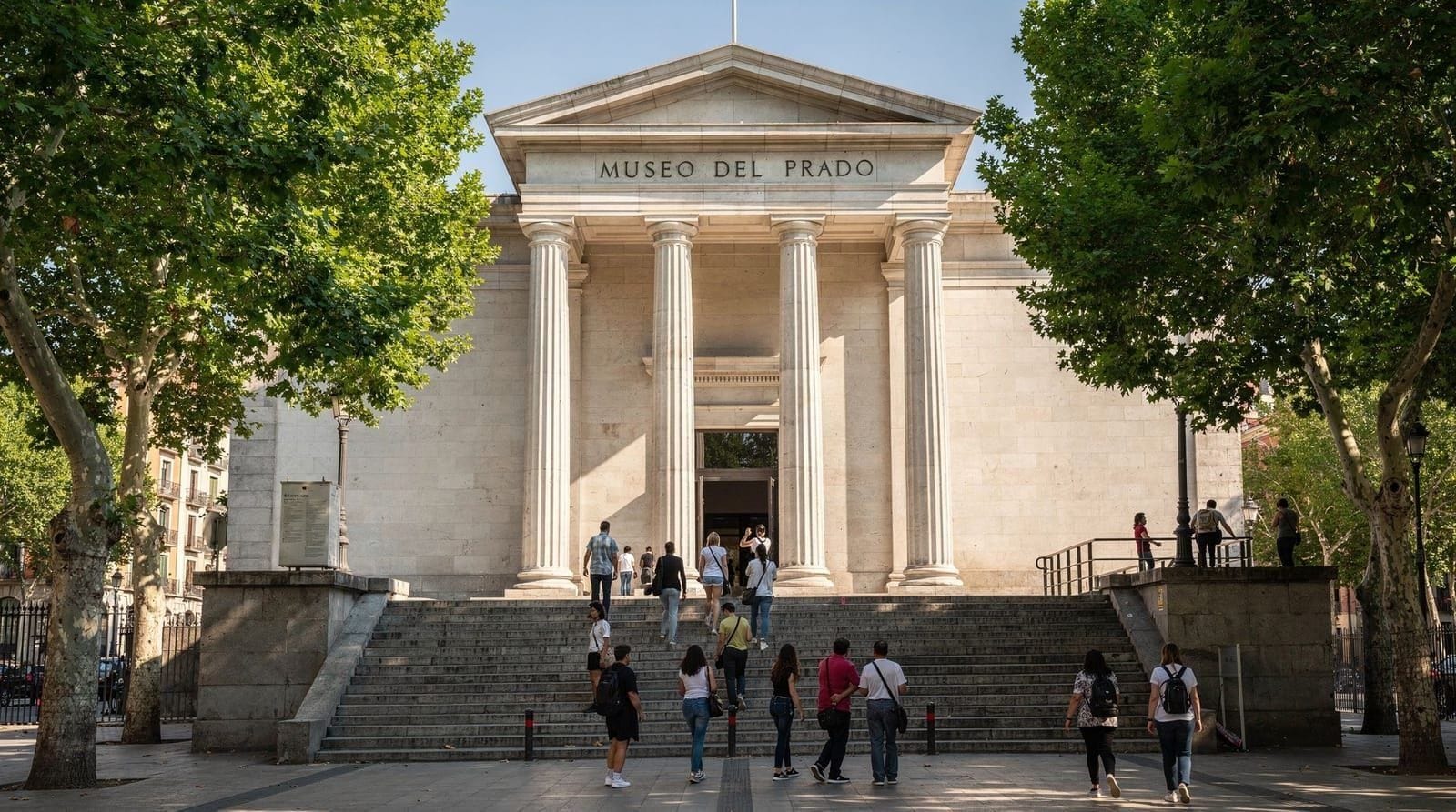
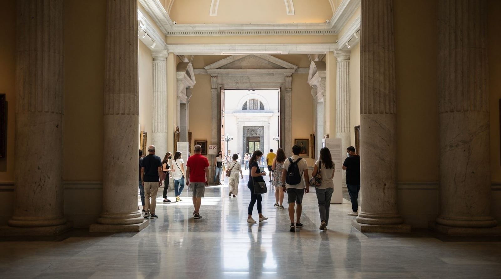
A navy museum that earns its place on the Paseo del Prado
The Museo Naval occupies a wing of the Ministerio de Defensa (Ministry of Defence) building on the Paseo del Prado, directly south of the Cibeles fountain and a 5-minute walk north of the Prado Museum. It is a specialist military museum, and it holds something no other institution in the world has: the Juan de la Cosa map.
The museum was established in 1843 to house the collections of charts, navigational instruments, ship models, and documents accumulated by the Real Armada (Royal Navy) of Spain. The scope covers the Age of Discovery in the 15th–16th centuries, the battles of the 16th–18th centuries (including the defeat of the Spanish Armada in 1588 and the Battle of Trafalgar in 1805), and the transition to the modern Spanish navy.
The presentation is traditional — glass cases, printed labels, formal arrangement — but the quality of the objects is exceptional for those who can read their significance.
The Juan de la Cosa map
The Juan de la Cosa map is the museum’s irreplaceable document. Painted on ox-hide in 1500, it measures 93 × 183 cm and depicts the world as known to Europeans at the dawn of the 16th century: the coasts of Europe and Africa with considerable accuracy (reflecting Portuguese and Spanish coastal exploration), and the Americas — a coastline without an interior — in a form that represents the first decade of post-Columbus knowledge.
Juan de la Cosa was a Cantabrian cartographer and navigator who sailed as owner and master of the Santa María on Columbus’s first voyage (1492) and returned on the second (1493). He subsequently sailed with Alonso de Ojeda and Amerigo Vespucci along the Venezuelan and Colombian coasts (1499), gathering the data that distinguishes his map from earlier Columbus-era charts. The map’s depiction of Cuba as an island (Columbus insisted it was a peninsula until his death) reflects this independent verification.
The map is displayed in a darkened alcove under controlled lighting to protect the pigments. The Saint Christopher figure on the western edge of the map has been interpreted as a symbolic image of the Christian missionary mission accompanying the conquest. The English coastline is shown without Ireland (a curious omission) and the Americas appear in greenish-blue pigment that may have been a deliberate colour choice to distinguish the new lands.
Seeing the 1500 original, in the same building where the Spanish navy still maintains administrative offices, is an experience that grounds the Age of Discovery in specific physical reality.
The rest of the collection
Navigation and cartography room: Astrolabes, compasses, quadrants, and charts from the 15th–18th centuries. The instruments are beautiful objects in their own right, regardless of their technical function. The collection of portolan charts (medieval coastal navigation charts, drawn on parchment with rhumb lines) is extensive.
Scale ship models: Detailed models of Spanish vessels from the caravel and nao of the discovery period through the galleons of the silver fleet, the frigates of the 18th century, and 19th-century ironclads. The galleon models are the most impressive — the complexity of the rigging and deck arrangement is fully rendered. Good for older children.
The battle of Trafalgar room: Documents, paintings, and objects related to the 1805 Battle of Trafalgar, in which Nelson’s British fleet defeated the combined French-Spanish fleet off the Cape of Trafalgar. The Spanish perspective on this engagement is interesting — Trafalgar is remembered in Spain as a strategic defeat but also as a demonstration of individual courage, particularly the death of Vice-Admiral Federico Gravina. Spanish history education treats Trafalgar differently from the British version.
Flags and standards: Captured flags from various engagements, including some from the Battle of Lepanto (1571), the largest naval engagement of the 16th century, in which the Holy League fleet under Don Juan of Austria defeated the Ottoman Empire.
The Armada gallery: Charts and documents related to the 1588 campaign. The Spanish perspective focuses on the strategic context (England’s support for Dutch independence, the harassment of Spanish shipping) rather than the defeat itself. Elizabeth I’s famous speech at Tilbury appears in a Spanish translation.
Practical details
Address: Paseo del Prado 5, 28014 Madrid.
Getting there: Metro Banco de España (Line 2), exit toward Cibeles and walk 2 minutes south along the Paseo del Prado. The museum entrance is in the Ministerio de Defensa building.
ID requirement: All visitors present ID (passport or national ID card) at the entrance. This is a military building; the ID check is routine.
Photography: Allowed in most of the museum. The Juan de la Cosa map room has restrictions on flash.
Visit duration: 60–90 minutes for a thorough visit; 45 minutes if focused on the Juan de la Cosa map and the ship models.
Crowd levels: Consistently uncrowded. You will rarely share a room with more than 5–10 other visitors. The museum receives a fraction of the Prado’s visitor numbers, which means you can spend real time with individual objects.
Combining with adjacent sights
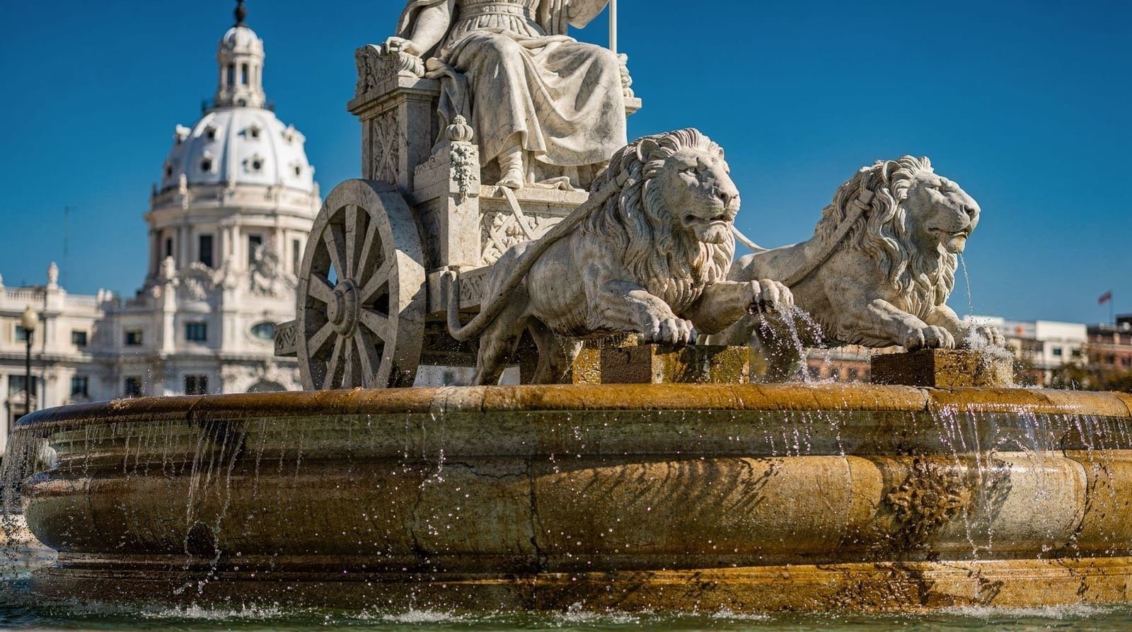
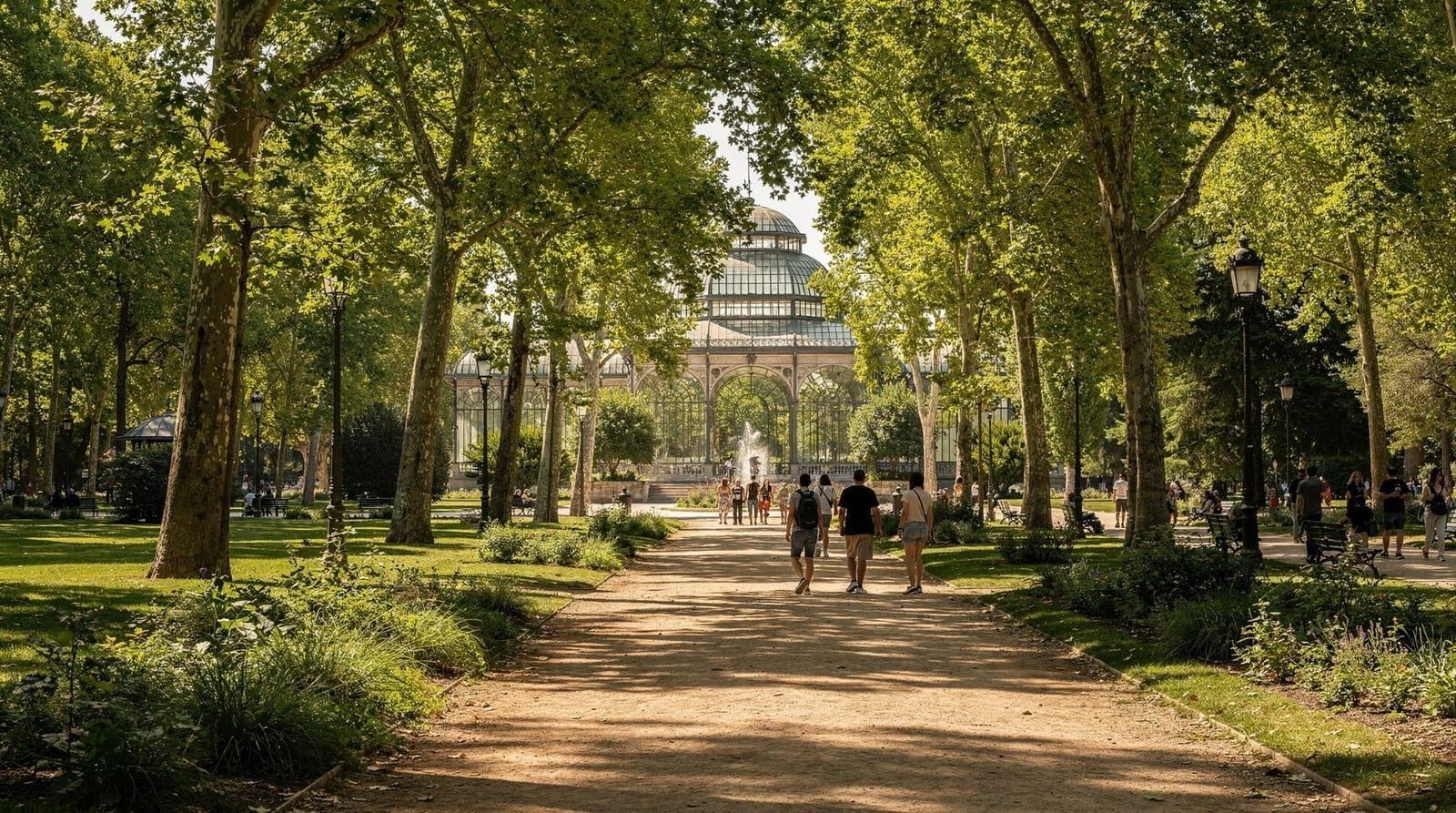
The Museo Naval is on the Paseo del Prado, which means it sits naturally within the Golden Triangle museum circuit. The Prado is 5 minutes south; the Thyssen is 5 minutes north. The Cibeles Palace and the Cibeles fountain are 2 minutes north.
For visitors building a free cultural day in Madrid, the Museo Naval + Sorolla Museum covers two excellent free visits in different parts of the city, with the Paseo del Prado promenade in between.
The Madrid for art lovers itinerary includes the Museo Naval as an optional addition on a third or fourth day — specifically for the Juan de la Cosa map, which contextualises the Prado’s collection of colonial-era painting and the entire Spanish Golden Age.
Free museums on the Paseo del Prado, side by side:
| Museum | Cost | Typical visit | Best for |
|---|---|---|---|
| Museo Naval | Free (ID required) | 60–90 min | Naval/exploration history, quiet |
| Museo Sorolla | Free (permanent collection) | 45–60 min | Artist’s house, Impressionism |
| Thyssen (Monday) | Free (permanent collection, Mondays only) | 90–120 min | Chronological art survey |
| Prado (evening window) | Free (18:00–20:00 weekdays) | Rushed, 90 min inside a 2h window | Velázquez, Goya, El Greco — expect a queue |
Of these, the Museo Naval is the least crowded by a wide margin and the only one with essentially no queue at any time of day.
Visiting with children
The ship models and navigational instruments give the Museo Naval more appeal for children than its formal, glass-case presentation might suggest. Older children (roughly 8+) with an interest in ships, exploration, or naval battles tend to engage well with the galleon models and the Juan de la Cosa map once its story is explained — the “here’s where Columbus sailed and this is the actual map drawn by someone on his crew” narrative works for that age group. Younger children may find the traditional presentation (glass cases, Spanish-only labels) less immediately engaging than a hands-on museum, though the sheer size of some ship models still draws attention. There is no dedicated children’s programming or interactive element, so this is a better fit for a curious child accompanying adults than a standalone kids’ outing — for that, the Madrid with kids guide has better-suited options nearby.
The 16th-century exploration context: what the map represents
To understand why the Juan de la Cosa map is significant, it helps to have the context. Columbus’s first voyage (1492) produced initial charts of the Caribbean, but Columbus himself refused to accept that Cuba was not part of the Asian continent. The second voyage (1493–1496) and the third (1498–1500) extended the coastal surveys, but the theoretical framework remained contested.
The breakthrough was Amerigo Vespucci’s 1499–1500 voyage along the Venezuelan and Colombian coasts (on which Juan de la Cosa also sailed). Vespucci’s observation that the landmass extended continuously south from the Caribbean — and that it was clearly not Asia — established what would become the intellectual foundation for naming the continent America.
The Juan de la Cosa map, completed in 1500, was the first cartographic representation of this emerging understanding. The Caribbean is recognisable; the South American coastline is schematic but oriented correctly; the continent is clearly separated from the Asian landmass by a gap that Juan de la Cosa left open because he didn’t know what was there (it would become the Pacific). Looking at the map, you see the exact moment at which European understanding of the world’s geography shifted irreversibly.
The Battle of Lepanto: the museum’s 16th-century naval context
Beyond the Age of Discovery rooms, the Museo Naval covers Spain’s naval military history in significant depth. The Battle of Lepanto (7 October 1571) was the largest naval engagement in the Mediterranean since antiquity — a Christian Holy League fleet of 206 galleys under Don Juan of Austria (half-brother of Philip II) defeated an Ottoman fleet of 251 galleys off the Greek coast, ending Ottoman naval supremacy in the western Mediterranean.
The museum holds flags, documents, and objects related to the battle. The most significant Spanish literary connection is direct: Miguel de Cervantes, then a young soldier, fought at Lepanto and received three arquebus wounds — one permanently disabling his left hand, earning him the title “el manco de Lepanto” (the one-handed man of Lepanto). Cervantes would write Don Quixote 33 years later. The novel-writing life followed directly from the naval battle.
The Armada of 1588
The “Invincible Armada” — actually called the “Felicísima Armada” (Most Fortunate Fleet) at the time — was one of the most expensive military disasters in Spanish history. Philip II assembled 130 ships and 30,000 men to land an invasion force in England; the plan failed through a combination of weather, inferior gunnery, and strategic errors. About 63 ships and 15,000 men were lost.
The museum’s Armada section presents the Spanish perspective on this campaign — the strategic logic (Elizabeth I’s support for Dutch independence and Protestant pirates raiding Spanish treasure fleets), the scale of the investment, and the political consequences (Spain survived as a major power for another century, despite the defeat’s symbolic impact on Spanish prestige).
The charts in this section include original navigation documents from the Armada campaign — printed sailing instructions and route charts that were recovered from ships or captured by the English and eventually returned to Spain. These are extraordinary primary documents of one of the most-studied military campaigns in history.
The 19th-century transition and the loss of empire
The final section of the museum covers the 19th century: the loss of the Spanish Empire in the Americas following the independence movements of 1810–1825, the Cuban and Philippine wars of 1898, and the diminishment of the Spanish navy from a global force to a regional Mediterranean fleet.
The 1898 section is presented with unusual candour for an official military museum — the defeat in Cuba and the Philippines is acknowledged as a comprehensive disaster that destroyed what remained of the Spanish colonial empire and produced a deep national crisis (the Generation of 1898 literary and intellectual movement directly addressed this trauma). The ships lost at Santiago de Cuba are documented here; Spain lost all six of its Caribbean-deployed warships in a single engagement.
For visitors interested in the end of the Spanish Empire, the Museo Naval’s 19th-century rooms are more honest and more informative than most official sources.
Visiting as part of the Paseo del Prado circuit
The Museo Naval occupies a specific position in the Paseo del Prado cultural corridor: it is the free institution between the Cibeles fountain (north) and the Thyssen (south). A logical free morning on the Paseo:
- Start at Cibeles Palace (free exhibitions, rooftop €2–3)
- Walk south 3 minutes to the Museo Naval (free, 90 minutes)
- Walk south 3 minutes to the Thyssen (free on Mondays 12:00–16:00)
This programme covers Madrid’s maritime history, civic architecture, and 800 years of European art in a half-day at minimal cost. The free things to do in Madrid guide structures this as a specific programme for budget-focused visitors.
Spanish naval geography: why Madrid has a navy museum
A landlocked capital having a major navy museum is not the paradox it might seem. Madrid became Spain’s administrative capital in 1561, at the height of Spanish naval power — Philip II coordinated the Battle of Lepanto, the Great Armada, and the management of the silver fleet routes from this inland city. The navy’s central administration — the Ministerio de Marina — was in Madrid, not in Cádiz or Cartagena.
The Paseo del Prado location reflects this: the navy ministry has occupied buildings on this prestigious boulevard since the 18th century, with the museum as the public-facing element of an ongoing ministerial presence. The current building dates from the late 19th century, purpose-built for the Ministry.
The collection’s international context
The Museo Naval’s Juan de la Cosa map stands comparison with any cartographic document in any maritime museum in the world. The closest equivalent collections are the Museu de Marinha in Lisbon (Portuguese discoveries, direct contemporary of Spain’s expansion), the National Maritime Museum in Greenwich (British perspective on the 18th–19th-century period when Britain replaced Spain as maritime hegemon), and the Museo Storico Navale in Venice (Mediterranean naval power before the Spanish and Ottoman competition changed the balance).
The Madrid museum covers a different period and perspective from all three — the Spanish perspective on the 15th–17th-century expansion that defined the modern Atlantic world.
Languages and practical access
The museum is managed by the Spanish navy, and labeling is primarily in Spanish. There is no permanent English audio guide. Visitors who read Spanish will get significantly more from the collection. The Patrimonio Nacional website has some English-language content covering key pieces including the Juan de la Cosa map — download or review this in advance.
Timed visit advice: The map is best viewed in the first hour of opening (10:00–11:00) before school groups arrive. The map room is small and a group of 20 children examining it simultaneously makes contemplative viewing difficult.
Temporary exhibitions and the museum shop
Beyond the permanent collection, the Museo Naval periodically hosts small temporary exhibitions drawn from its own archives — commemorations of specific battles, anniversaries of expeditions, or thematic displays on cartography and navigation. These are included in the free entry and typically occupy a single room, so they add 10–15 minutes rather than requiring a separate visit. The museum shop, near the entrance, sells naval-themed books, reproduction charts, and model-ship kits — a more specialist selection than the gift shops at the Prado or Thyssen, and worth a look if maritime history is a genuine interest rather than a passing one. There is no café inside the museum; the nearest options are on the Paseo del Prado or a short walk into the Barrio de las Letras.
After the Museo Naval: where to eat
The Paseo del Prado area has limited good dining options at the street level — the tourist restaurants along the boulevard charge accordingly. Better choices are a 5-minute walk:
East (toward Huertas): The Barrio de las Letras neighborhood starts one block east of the Paseo del Prado — Calle del Prado, Calle Huertas, and the streets around Plaza de Santa Ana have mid-range restaurants and tapas bars at normal Madrid prices.
North (toward Cibeles): The Café del Círculo de Bellas Artes (Calle de Alcalá 42, 10 minutes north) is one of Madrid’s finest traditional cafés for a coffee or light lunch.
The Madrid tapas guide and the Barrio de las Letras guide cover specific recommendations in detail.
Frequently asked questions about Museo Naval Madrid
What are the Museo Naval's opening hours?
Tuesday–Sunday 10:00–19:00. Closed Mondays, Christmas Day (25 December), New Year's Day (1 January), and Good Friday. Last admission 30 minutes before closing.How much does the Museo Naval cost?
Free admission for all visitors. Passport or ID required at the entrance desk. No advance booking needed.What is the Juan de la Cosa map?
The Juan de la Cosa map (1500) is the oldest surviving world map to depict the Americas. Juan de la Cosa sailed with Columbus on his first and second voyages and with Amerigo Vespucci; his map compiled the first decade of European knowledge of the New World. It shows the Caribbean islands, the Central and South American coastlines (roughly), and Africa in extraordinary detail for its date. The original is in the museum, displayed in a dedicated case under controlled lighting.Who is the Museo Naval aimed at?
The collection appeals primarily to visitors with an interest in Spanish history (the Age of Discovery, the Armada, the colonial empire) and to military history and naval history enthusiasts. It is also good for older children with an interest in ships and exploration — the models and navigational instruments are tangible and visually interesting.Where is the Museo Naval and how do I get there?
The museum is on Paseo del Prado 5, near the navy ministry building. Metro Banco de España (Line 2), 2-minute walk south. It is adjacent to the Cibeles fountain and 5 minutes from the Prado Museum and the Thyssen.Is the Museo Naval good for children?
Reasonably, for older children (roughly 8+) with an interest in ships or exploration — the galleon models and the Juan de la Cosa map's story tend to hold attention once explained. There is no dedicated children's programming, so it suits a curious child accompanying adults better than a standalone kids' outing. Younger children may find the traditional glass-case presentation less engaging.Is English information available at the Museo Naval?
Labelling is primarily in Spanish, and there is no permanent English audio guide. The Patrimonio Nacional website has some English-language content on key pieces, including the Juan de la Cosa map — worth reviewing before your visit if you don't read Spanish, since it will add significant context the on-site labels won't.